Modifying Spatial Data
arcgispro
geospatial
map
esri
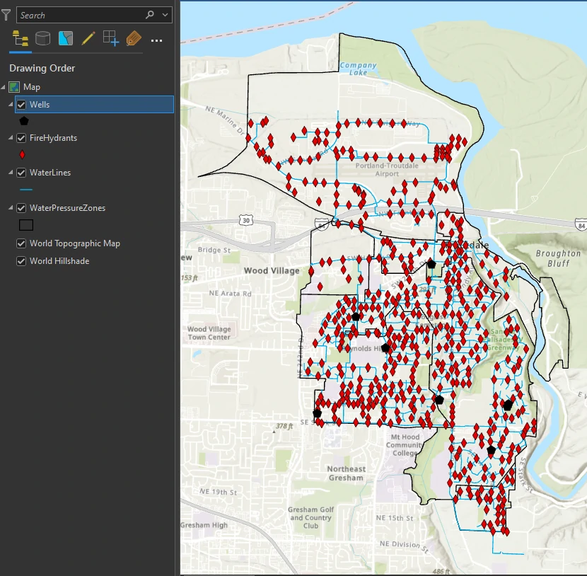
We work in the GIS department of Troutdale, Oregon. One of our jobs is to maintain the city’s GIS database. We are considering converting all the city’s shapefiles into the geodatabase feature class format because we want to take advantage of the benefits offered by the geodatabase.
Editting and Snapping
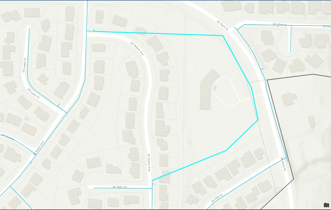
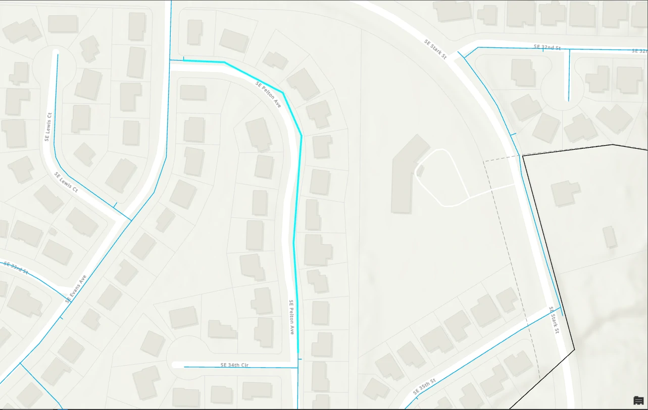
The WaterLines layer is missing a line feature. In this part we will create it. We utilize snapping, snapping is an editing option that acts like a magnet. When editing, if the point you create is within a specified distance of another feature’s vertex, endpoints, edge, or intersection, it will jump (or snap) to coincide with another feature. Snapping allows you to accurately connect features, such as waterlines and valves, without impossibly precise sketching. 
Split and Merge Polygons
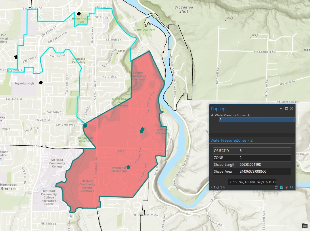
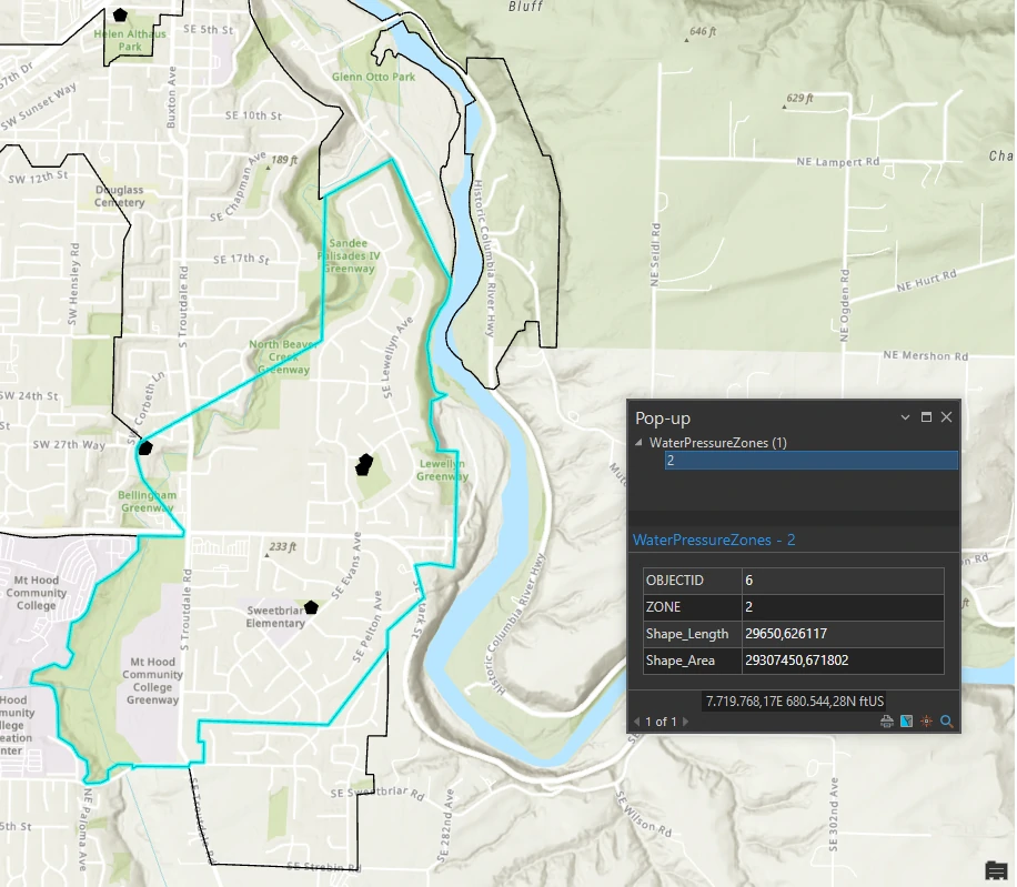
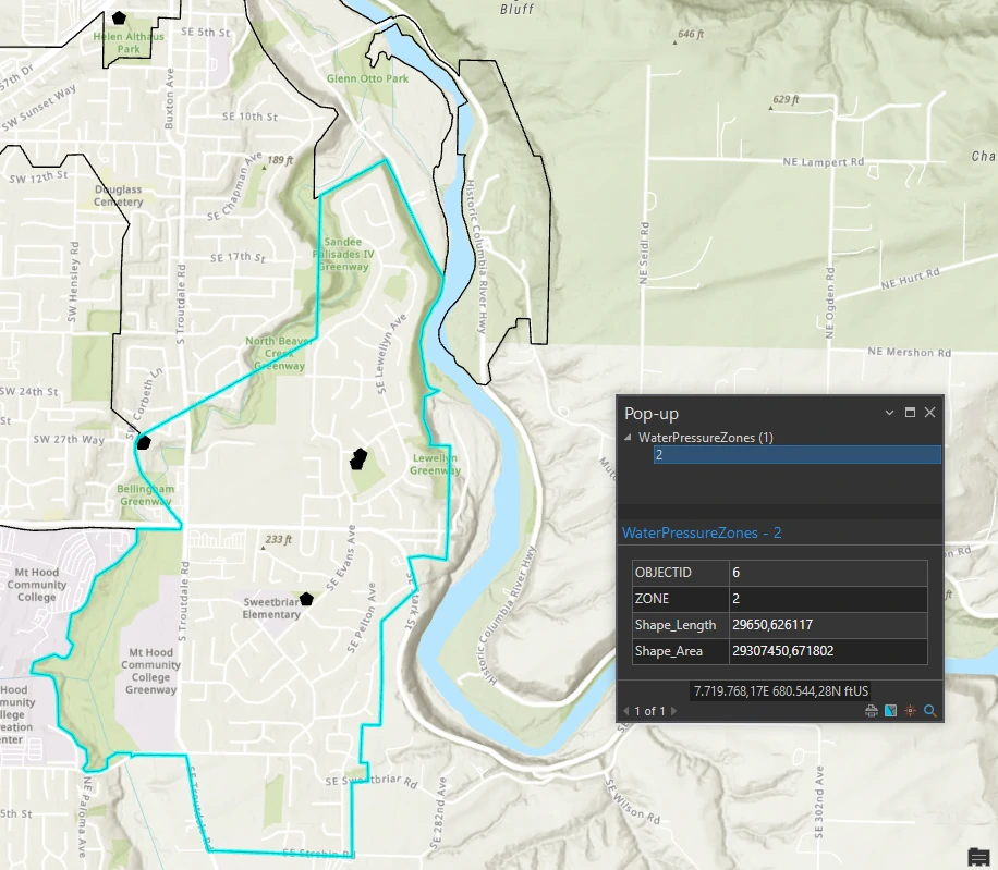
In this part we will modify existing features in the CityMaintain geodatabase. To stabilize water pressure throughout Troutdale, two new water towers were built, resulting in changes to water pressure zones. You will split an existing zone into two zones and then merge one of the new, smaller zones into an adjacent zone. 
Modify lines
A waterline was placed incorrectly. You will fix the error by moving its vertices.