ArcGIS Pro Snippet Collection
arcgispro
geospatial
map
esri
snippet
Map Visualization
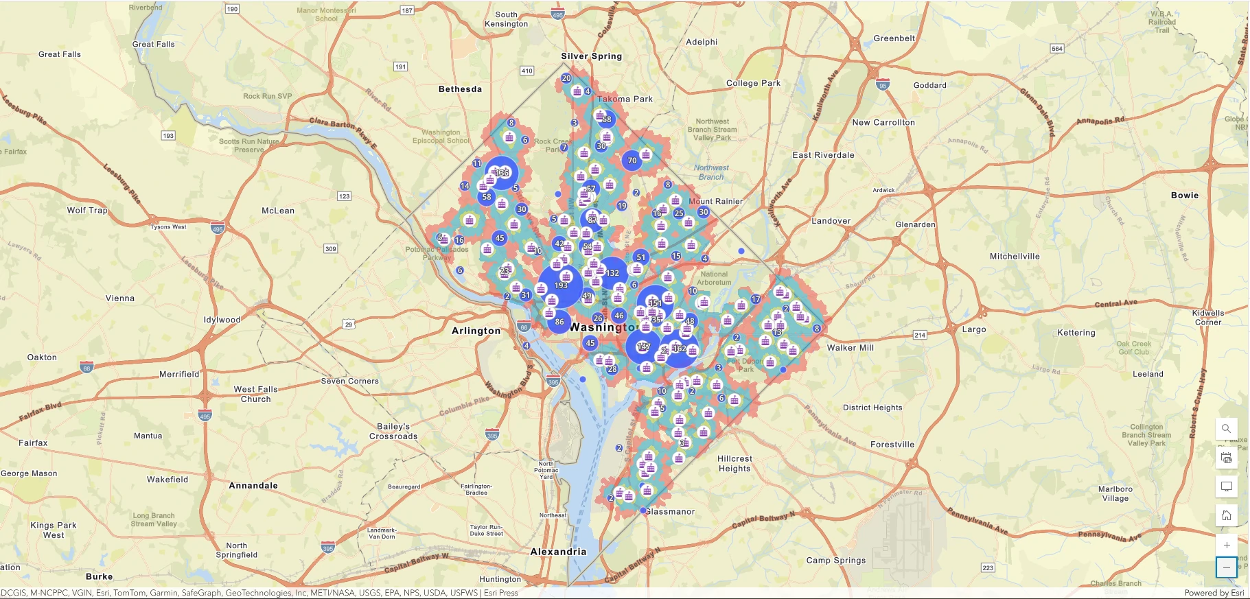
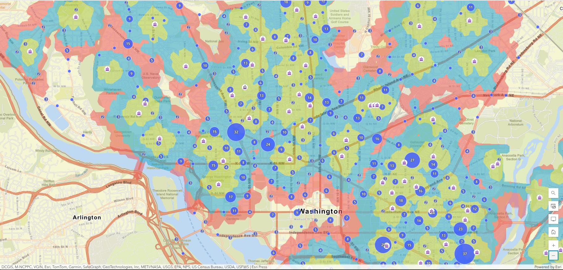
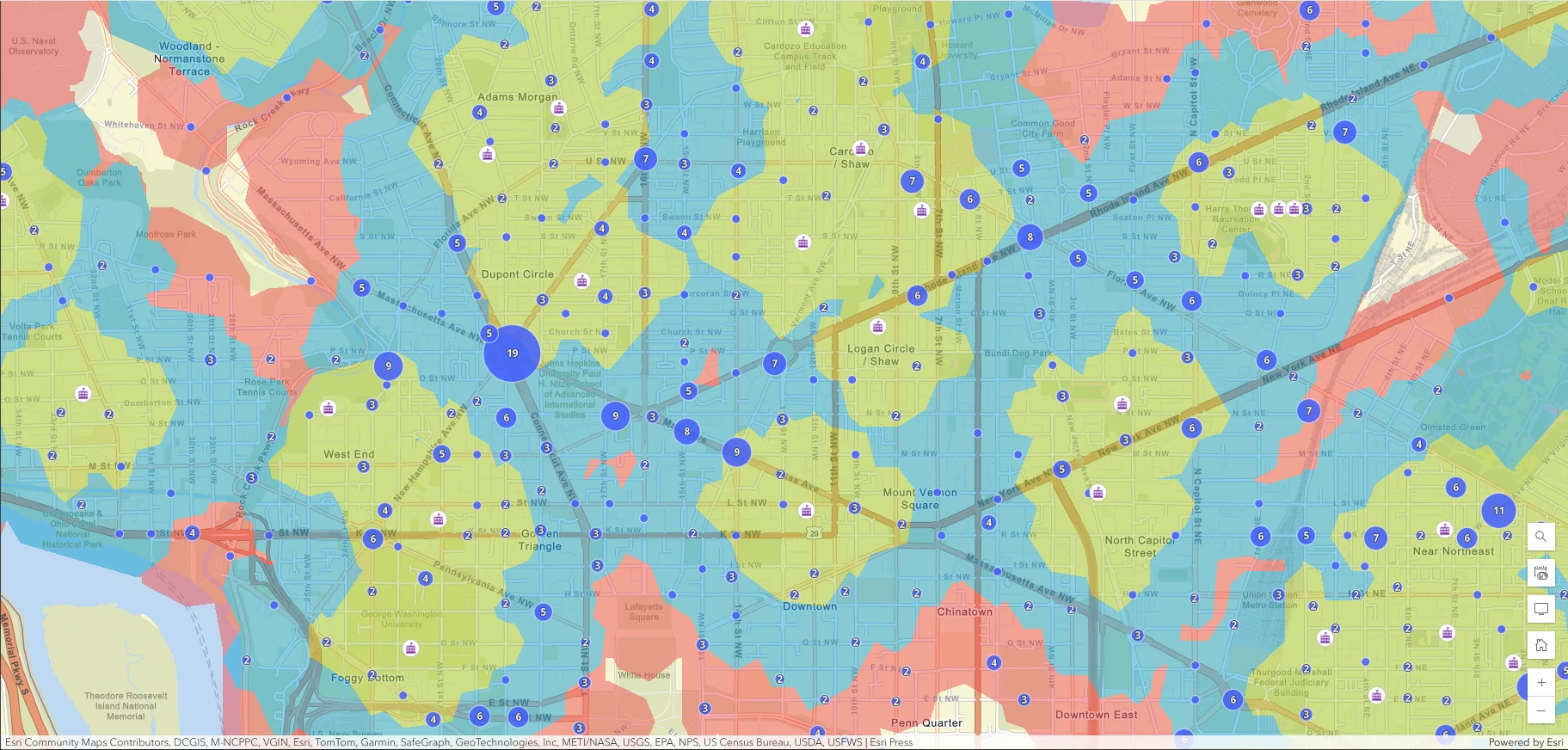
In This project we are exploring a public map of traffic incidents within walking areas of public schools in Washington, DC. The goal is to identify areas where students may be at risk during travel to and from school based on driving incidents that have occurred.
The result is shown school walking areas more clearly with detail from the basemap still visible. The green areas show a five-minute walk to the nearest school, the blue shows a 10-minute walk, and the red shows a 15-minute walk.
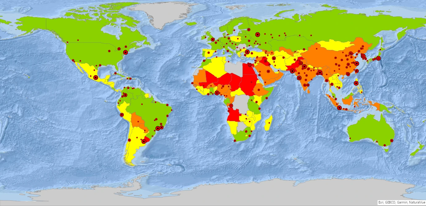
World Map Visualization
This project we will explore World_data.mxd that contains: 1. Population for each big city, 2. Population for each country, 3. Air pollution by country. We also add a basemap for oceans to get more detail map.
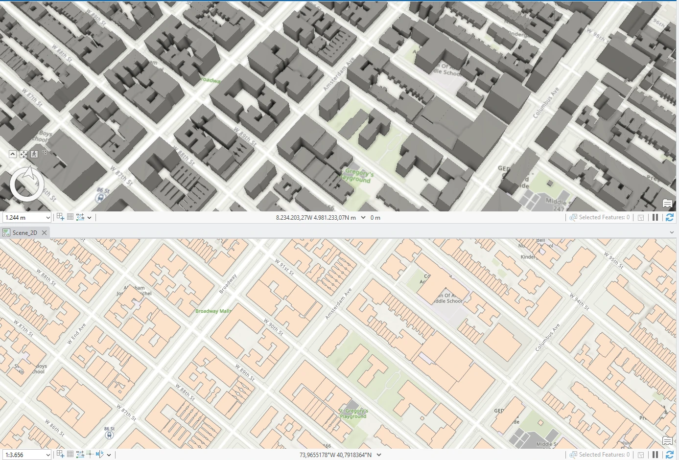
Experience 3D GIS
This project we will explore 3D map that engages our audience and provides a wow factor that our 2D maps may lack. But it is not just about looks—with the power of 3D GIS, we can visualize and modify skylines, experience realistic topography, and perform 3D analysis. This map will introduce visualization for 2D and 3D simultaneously.